Marianne O’Doherty
This is the first of what we hope will be regular updates from the Strange Geographies p team about our exciting AHRC-funded project, which aims to investigate and bring to life the weird and wonderful ideas that shaped geographical visions of Britain between around 1200 and 1500. This project’s aims run from from investigating little-studied bodies of manuscript evidence for medieval thought about geography and landscape to enhancing the understanding and visitor experience of modern heritage sites (see About), so there has been quite a lot to set up. However, we have started with a peculiar list that is central to all the different parts of the project.
The Marvels of Britain is a text – or perhaps more accurately, a set of interrelated texts – that treats a shifting selection of built and natural phenomena across the island of Britain, from Loch Lomond in Scotland to the Severn Bore, and including sites well known today (Stonehenge, the White Horse at Uffington, the Rollright Stones), structures now destroyed, and sites that can’t be identified, or where identification varies between manuscripts. Lists of marvels range in length from four to about 37 (so far), and appear independently as well as in manuscripts of chronicles from the twelfth century, such those of Ralph de Diceto and Alfred of Beverley, through to the fourteenth, including Ranulph Higden’s widely-copied Polychronicon. We find these lists in all sorts of contexts, but almost always with some other types of geographical writing about the British Isles. We are starting by trying to untangle the messy textual histories of these — a prerequisite for thinking about their role in cultural history and geographical thought, and about how medieval sources can help inspire engagement with cultural heritage in our contemporary world.
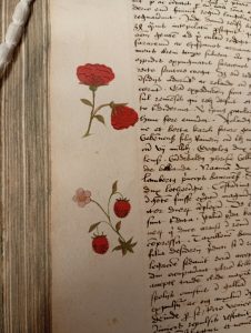
We’re only at the very start of this work, which we expect to pick up in pace once our Post Doctoral Research Fellow, Dr Emma Nuding, joins us on 1 November 2026. However, our forays into the texts thus far have already yielded some delightful surprises of the kind that remind me why I love to work directly with manuscripts. On the suggestion of Co-I Alfred Hiatt, we recently took a quick look at an unpublished manuscript world geography from around 1501by an otherwise unknown Edward Higgons (Cambridge University Library MS Ii.iv.30), with the aim of helping us to establish the longevity of the medieval tradition of geographical anthologizing we’re looking at. Along with confirmation that the anthologizing tradition and its British marvels were indeed still alive and kicking in the early sixteenth century, we stumbled across a set of delicate — and entirely unrelated — marginal paintings of flowers, seemingly by the amateur geographer himself.
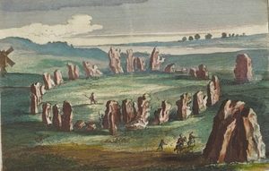
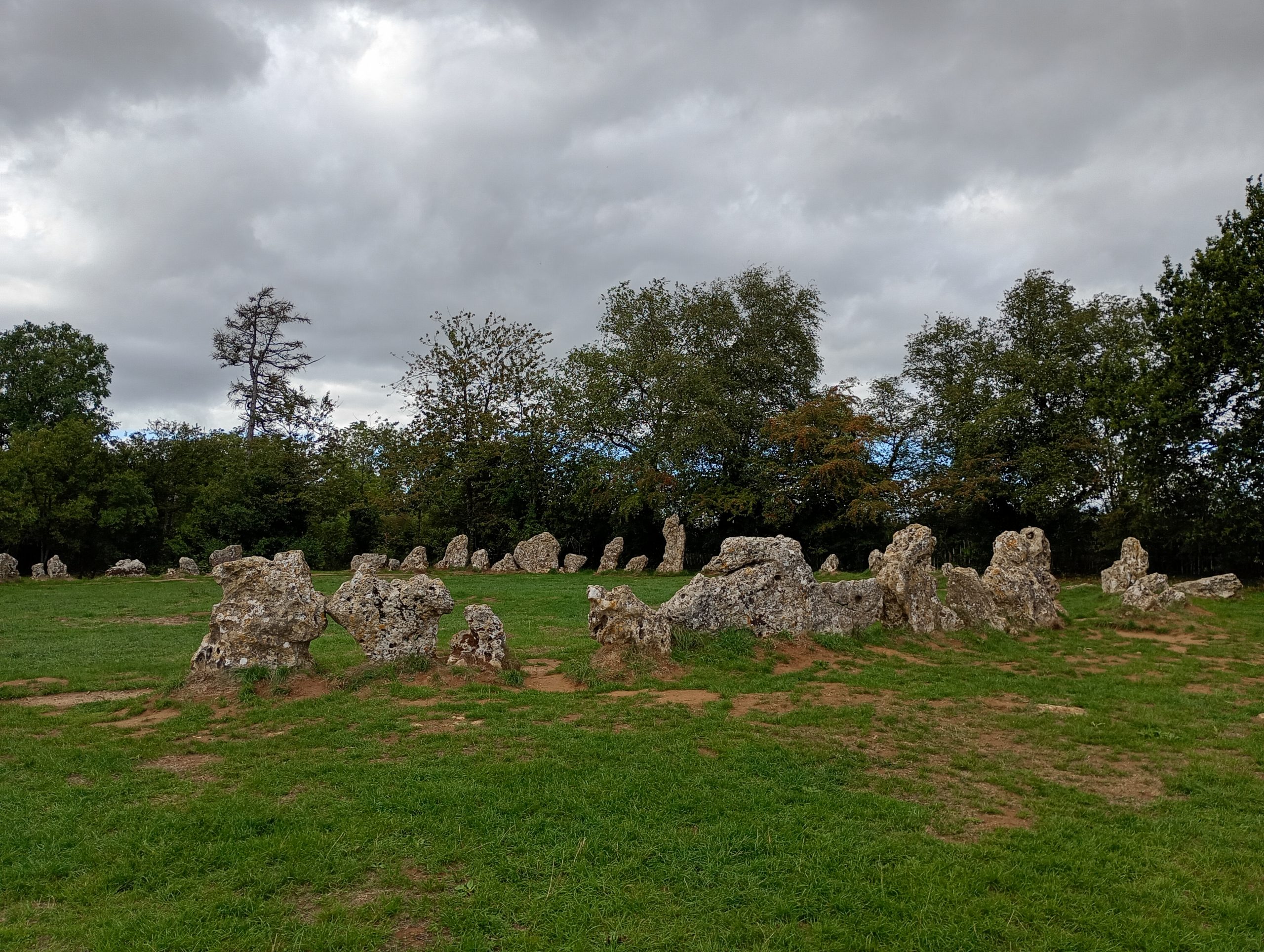
Meetings with our project partners are taking me out into the open air as well as into the library. In early September I met with the Chair, George Lambrick, and Site Manager, Robin Smitten, from the Rollright Trust, which looks after three ancient monuments in close proximity to one another: The King’s Men; the Whispering Knights, and the King Stone, on the Oxfordshire and Warwickshire border. It is the main stone circle (pictured) that appears in some versions of the Marvels, though in later drawings, such as in Blaeu’s entry for Oxfordshire in his Atlas maior (pictured) the three monuments appear pictured together. Later in the project, we will be working with the Rollright Trust and organisations like it to develop the creative and public engagement parts of our project, and we look forward to being part of their thirtieth anniversary celebrations. It is a beautiful and atmospheric site, and the photograph here does not capture quite how many people were interacting with it while I was there. These included, couples, families and a painter rendering the stones and sky in vibrant colours. Mercifully, George and Robin did not make me try to count the stones; in the best medieval tradition of marvellous megaliths, the number apparently remains hard to pin down.
Images:
Marginal roses and strawberry plant, Geographia Edwardi Higgons Anglice, circa 1501, Cambridge University Library Ii, iv. 30, Reproduced by permission of the Syndics of Cambridge University Library.
The Rollright Stones, photograph by author.
The Rollright Stones, showing the King’s Men, the King Stone and the Whispering Knights. The artist has brought the three groups of stones together and exaggerated their size relative to the size of the human figures in the image. Oxfordshire in Joan Blaeu’s Atlas major, vol 5, Amsterdam, 1662-5, p. 175. Reproduced with the permission of the National Library of Scotland.